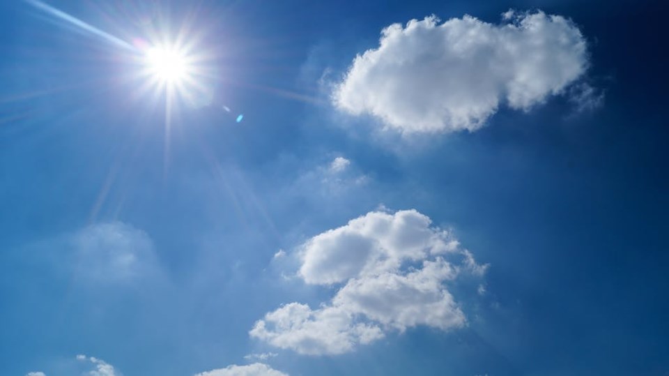
Weather terms that were heavily used in 2021, such as heat dome, are expected to make a return this summer.
The Weather Network released its long-term forecast for June, July, and, August, showing part of the province is projected to have above normal temperatures and the other half well above normal.
"The unfortunate part is for southern Saskatchewan and the southern parts of the prairies, we expect that's going to be sort of the central spot for some of the hottest temperatures this year, so that's where we actually do have well above normal temperatures in the forecast. That definitely is concerning," explained Matthew Grinter, Meteorologist with the Weather Network.
"When we compare prior years in terms of drought conditions, we are in a better situation than we have been in prior years at this point in time, but because of the pattern that we are looking at as we head through the summer, we're actually going to be looking at those drought conditions increasing, so that's the unfortunate part with this forecast."
Southern and some central areas have received good May rainfall, but across the northern grainbelt from Meadow Lake to Nipawin to Hudson Bay there has been very little spring rainfall. Prince Albert has only received 8 millimetres of rain since April 1, while North Battleford picked up 11 millimetres over that same period.
With expectations of a hot summer, that increases the importance of June rain for developing crops.
"As we head into June, we know that's the wettest time of the year, the wettest month for southern Saskatchewan and Saskatoon normally, so what we're hoping is that we do see that come to fruition, that we do have some moisture that's going to help to reduce any of that drought concern as we head through the summer, because as I mentioned, we're looking at that more so building throughout the summer, so the beginning of the summer will be in sort of a better situation, but then as we head through the month of June and into July, that's when we'll start to really see those drought conditions pick up a little bit, unfortunately." said Grinter.
Grinter says outside of the summer heat dome, there will be a chance for moisture in the form of severe thunderstorms through a weather pattern called the Ring of Fire. The Ring of Fire "refers to thunderstorms and rain across the edges of a high pressure ridge" according to the National Weather Service's weather glossary on its website.
"Now, that doesn't mean that those areas aren't going to see any drought conditions or wildfires in general. But what it does is it does bring some moisture to the area, which is definitely good. At this point in time, it doesn't look like that area is going to be over southern parts of the provinces, but more so central areas. But like I said, that doesn't negate that we'll be looking at drier conditions as a whole for the summer. And that can also increase the lightning threat as well across the province." added Grinter.
Wildfires and smoke are other concerns cited by the Weather Network, but noted " thunderstorms will provide some relief from the dry weather at times, with a risk for severe storms and localized torrential rain, especially for central and northern parts of the region."
(With files from Neil Billinger, CJWW)


